Precision Agriculture
In season information of crop development is of value to farmers
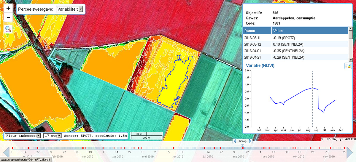
Using satellite imagery on (sub-)parcel level assists farmers in applying precision farming techniques on their parcels.
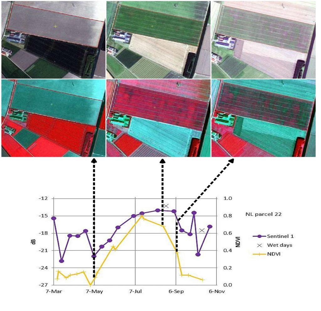
Satellite derived precise information on crop emergence, crop closure and variability within fields helps farmers to decide on the right amount of fertilizers and plant protection products at exactly the right place and the optimal time.
Please contact Henk Janssen for more information or use the contact form.


